

Home and Model Region
Conservation and development
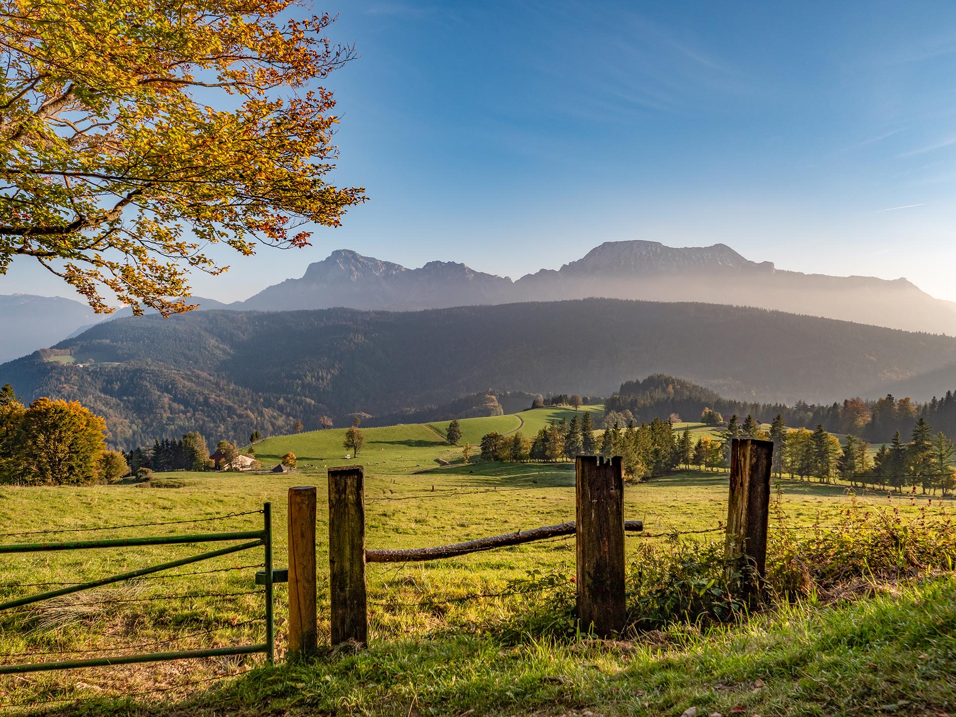
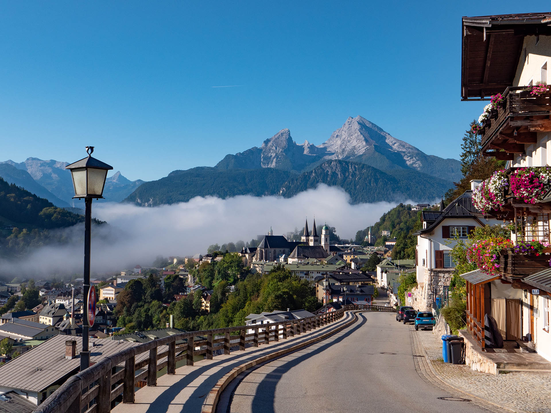
The Berchtesgadener Land is known for its beautiful and varied landscapes, its famous sights and tourist destinations, its traditional ways of economic activity and its lively customs. The region is also a thriving business location. At the same time, it is home to numerous, often rare, species of flora and fauna. As early as 1990, parts of the Berchtesgadener Land were designated a biosphere reserve by UNESCO. In 2010, the label was awarded to the entire district. People, their impact and their places of living and economic activity are the focus of attention in a biosphere reserve.
Being part of the worldwide network of UNESCO biosphere reserves, the aim is to find ways to jointly tackle social, ecological and economic responsibility and to maintain and develop the quality and future viability of the Berchtesgadener Land.
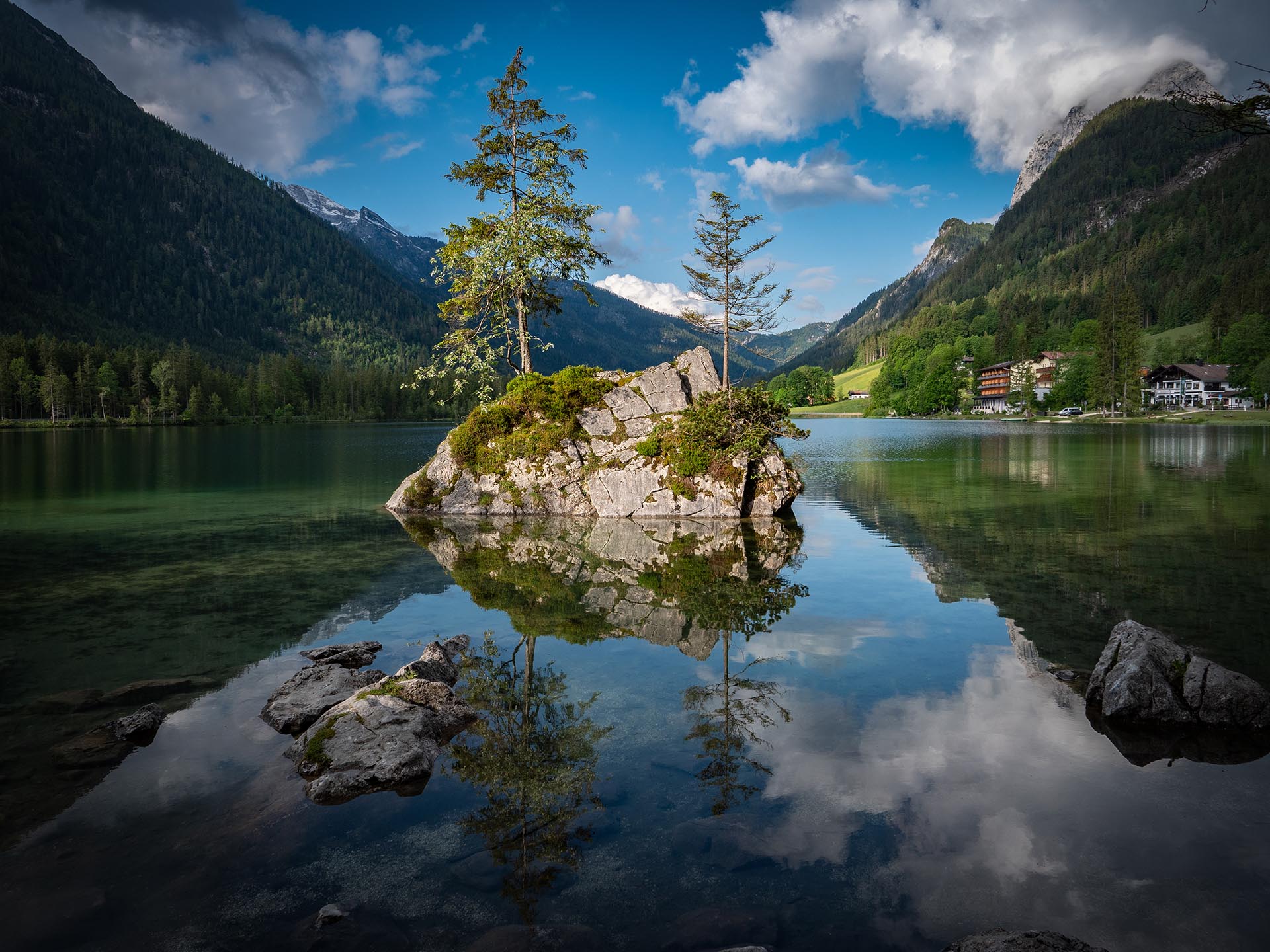
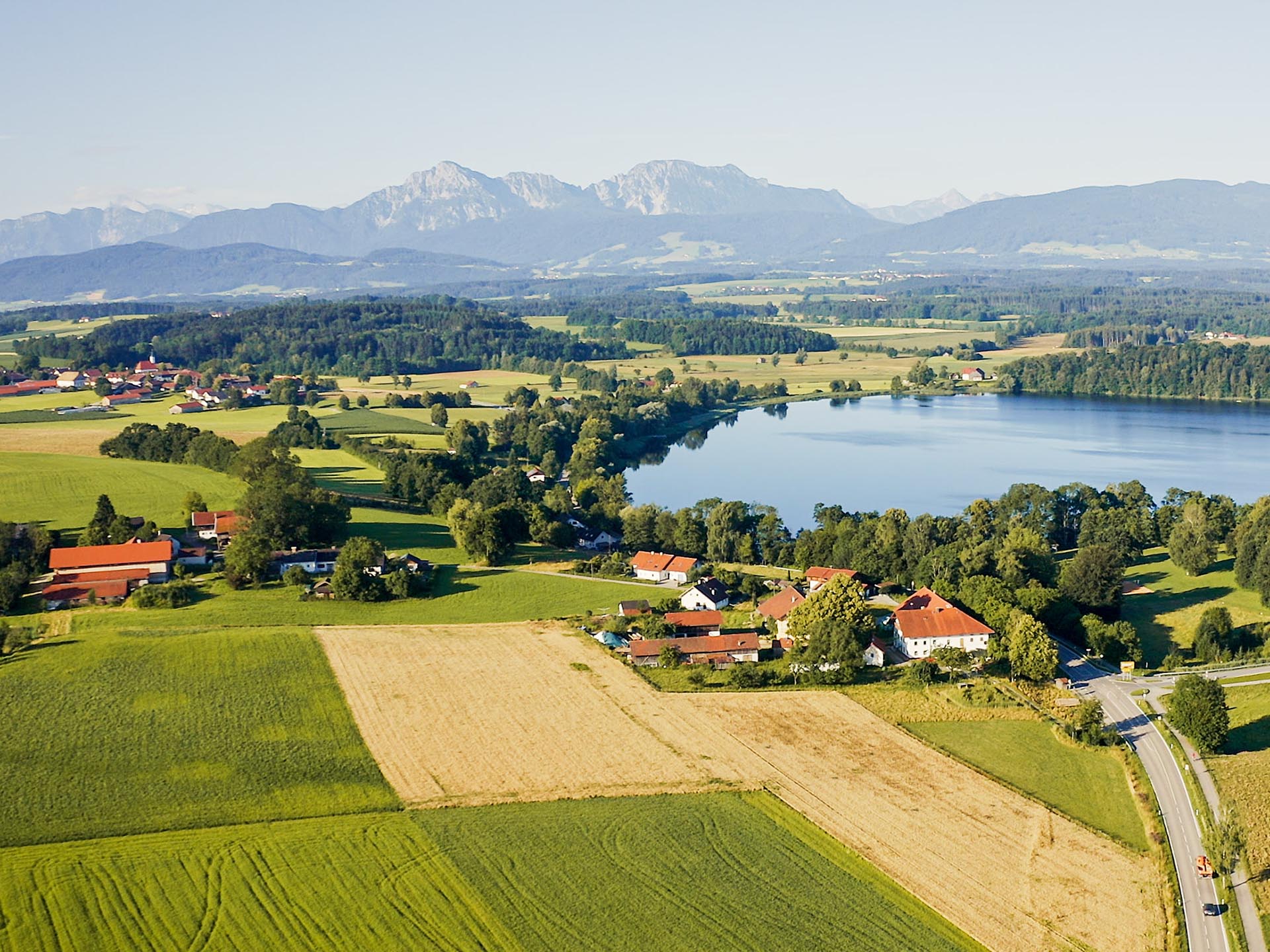
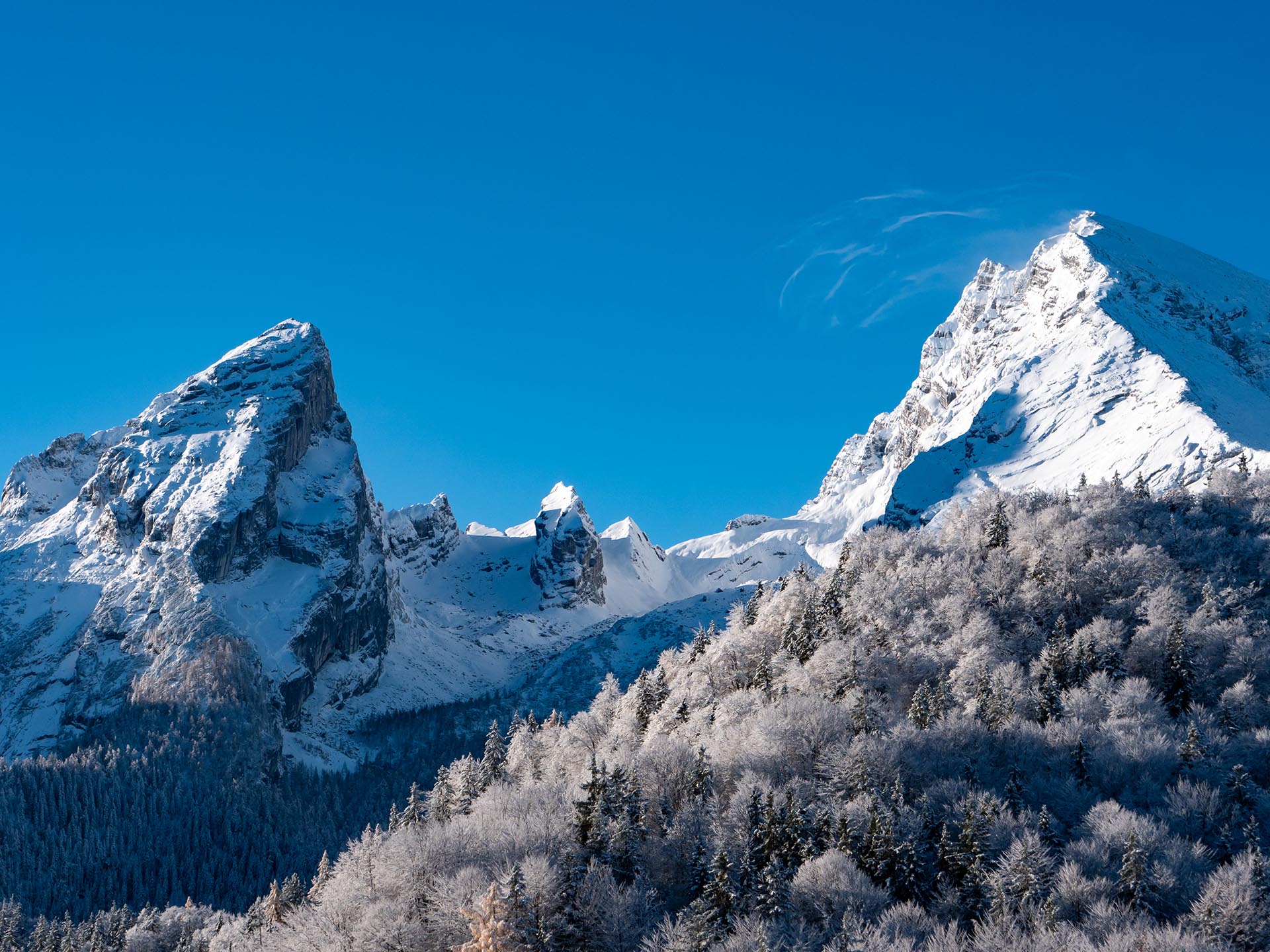
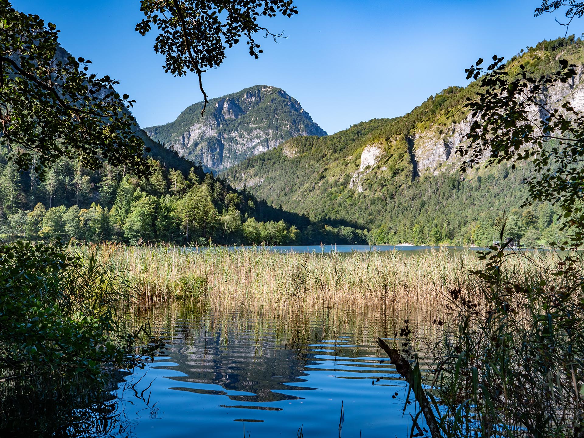
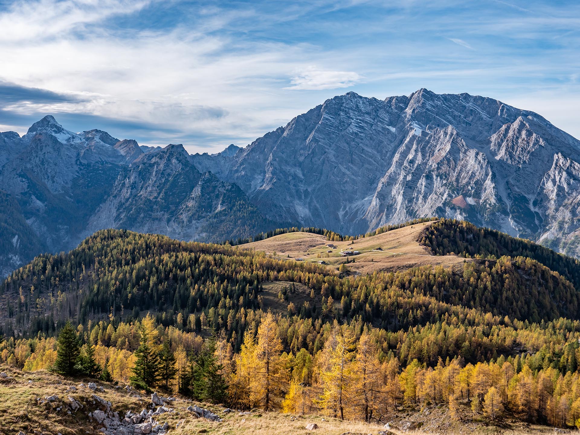
The Berchtesgadener Land Biosphere Region covers the entire district with an area of 840 km2. About 106,500 people live in 15 towns, municipalities and communities in the Berchtesgadener Land. The altitude ranges from 383 meters above sea level in the north to 2713 meters in the south. In the history of the Berchtesgadener Land, salt extraction and the salt trade were very important and shaped landscape and society. Salt production provided jobs in the region and agriculture was mainly done as a sideline. This is one of the reasons for the small-scale structure of the cultural landscape. The region stretches from the gentle foothills of the Alps, across alpine cultural landscapes, up to the rugged peaks of the Alps. It includes rocks, forests, rivers, streams, lakes, moors, meadows, pastures, fields, settlements and much more.
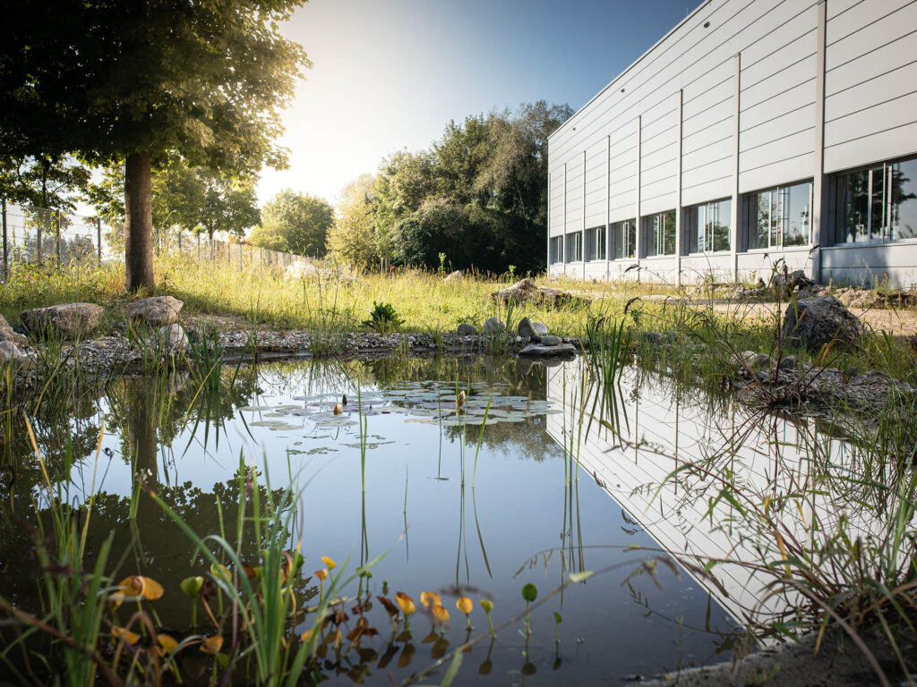
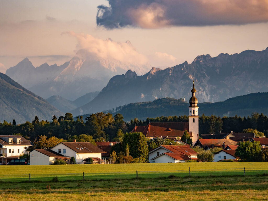
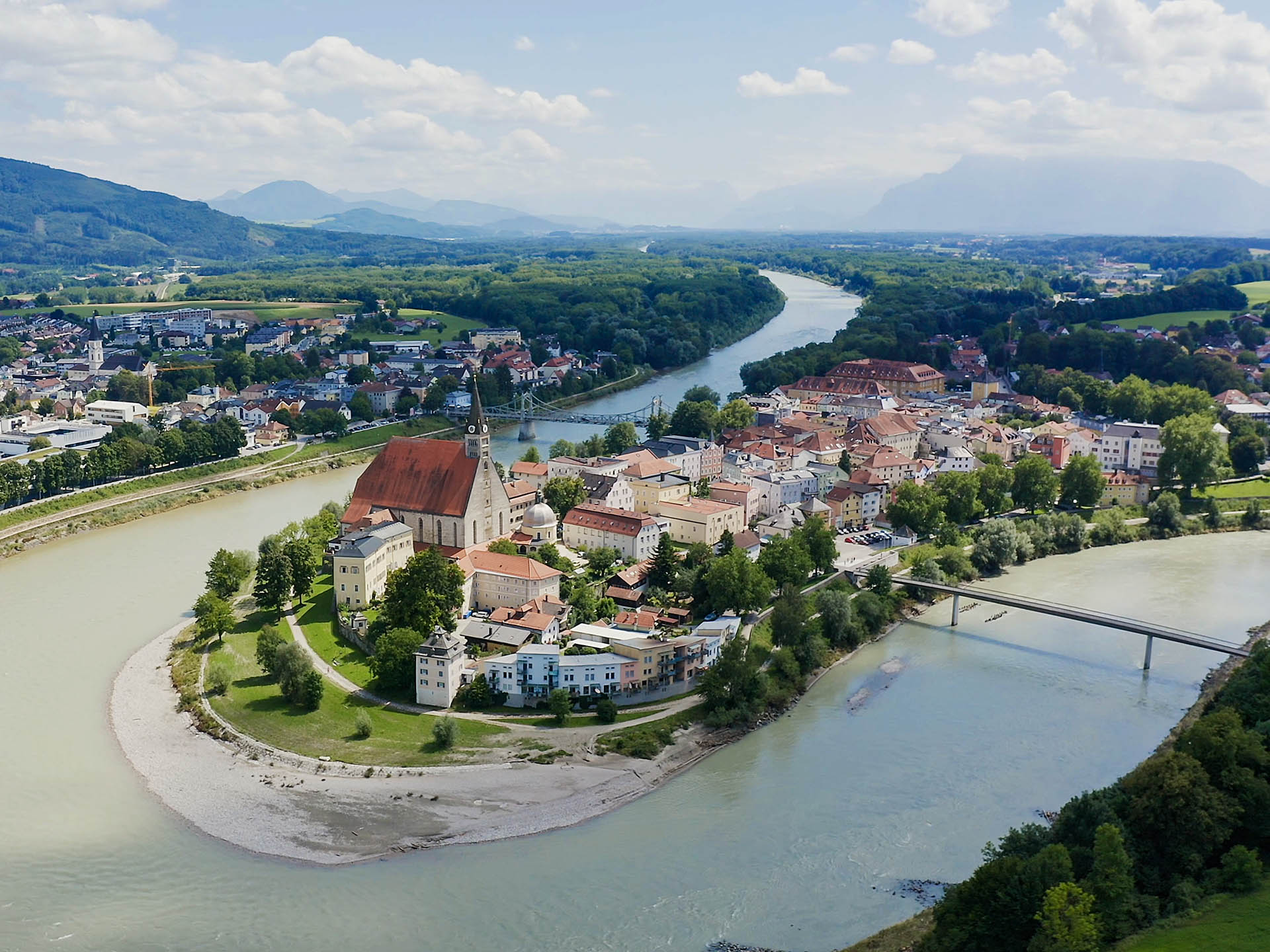
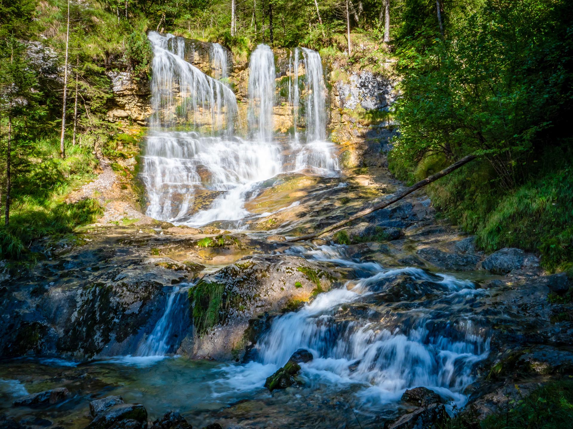
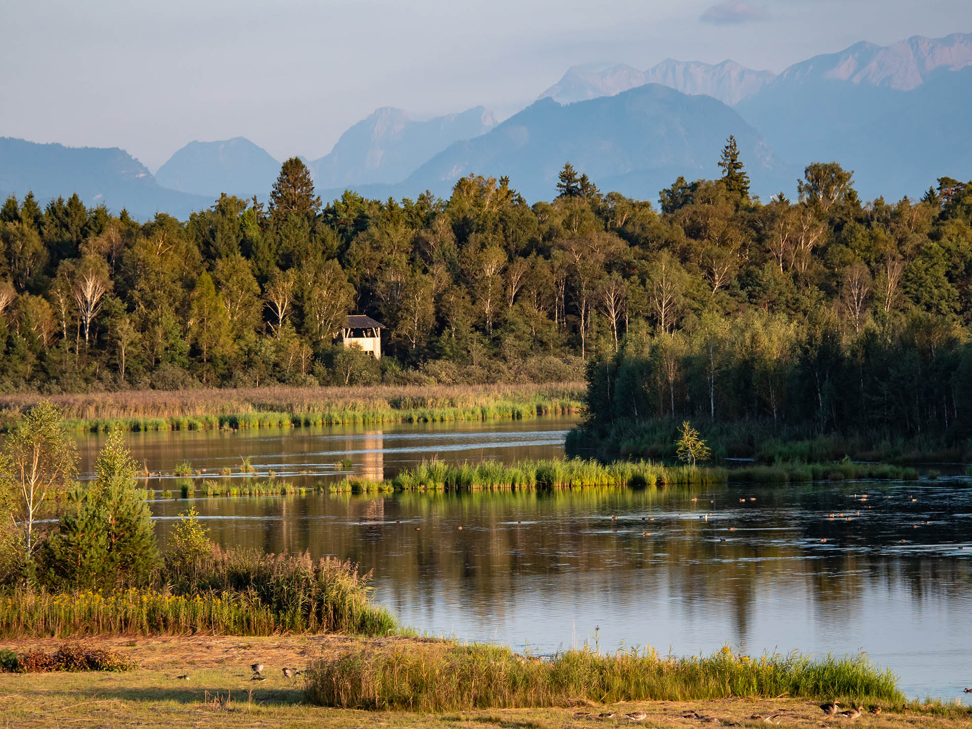
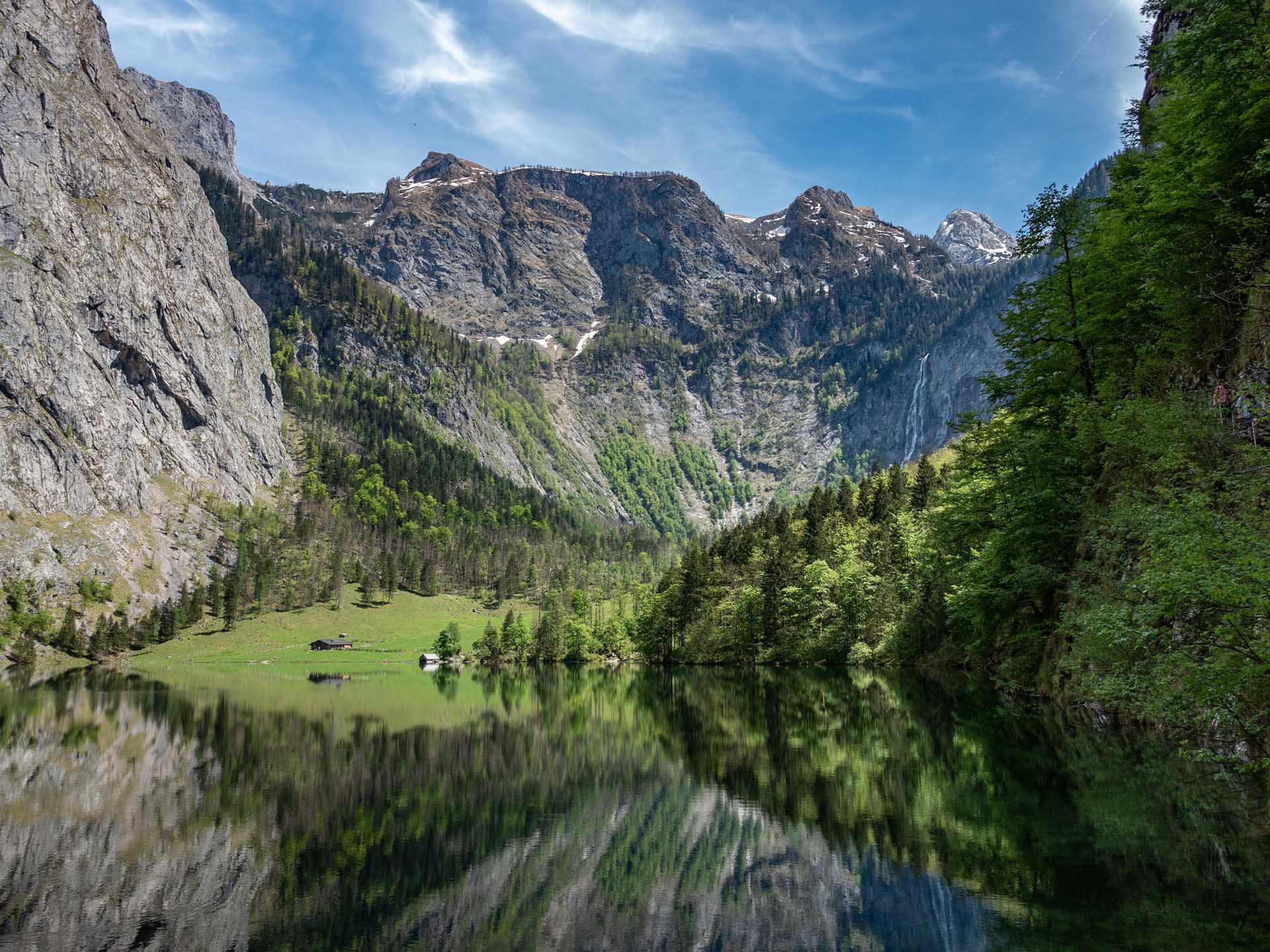
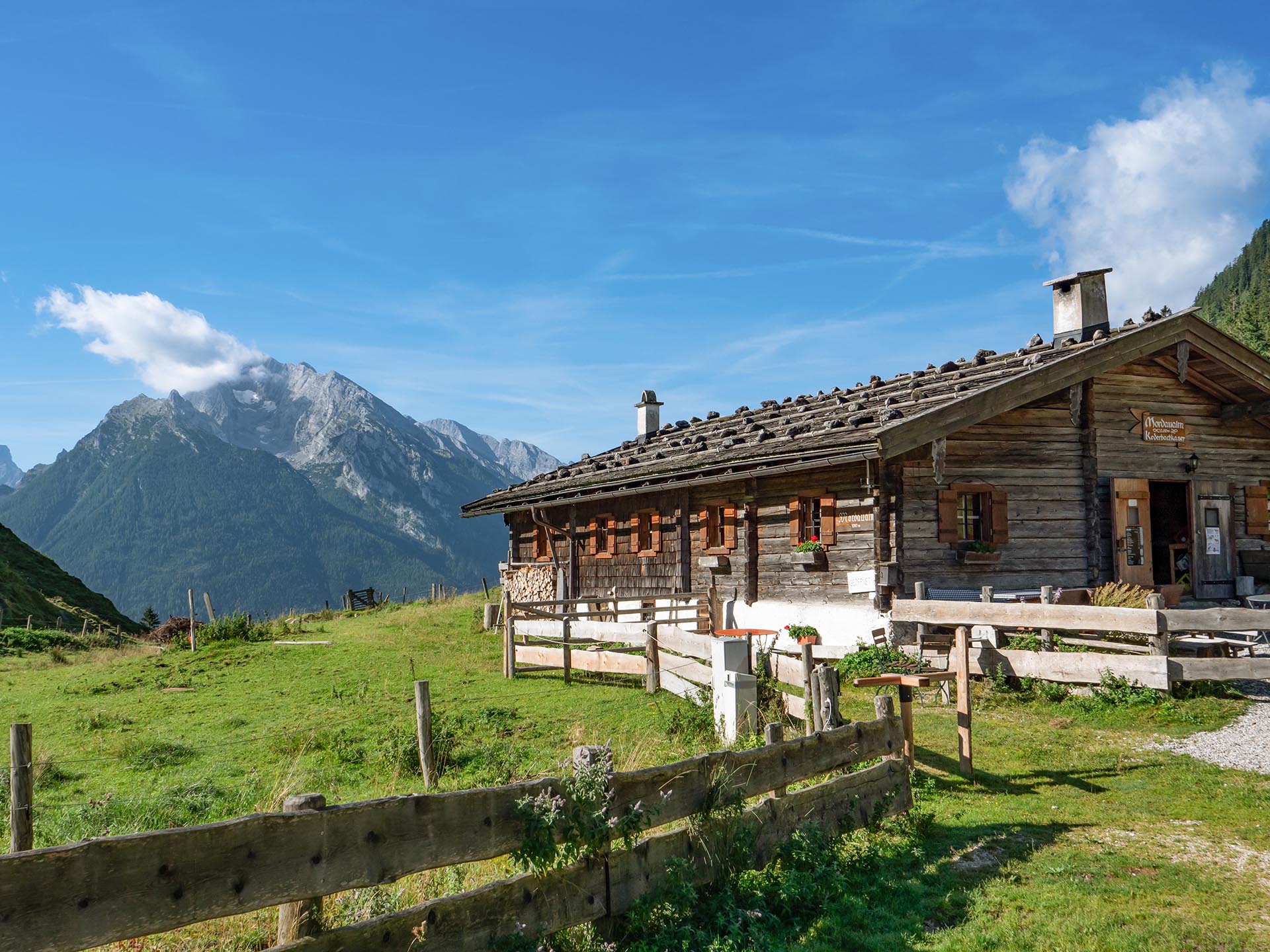
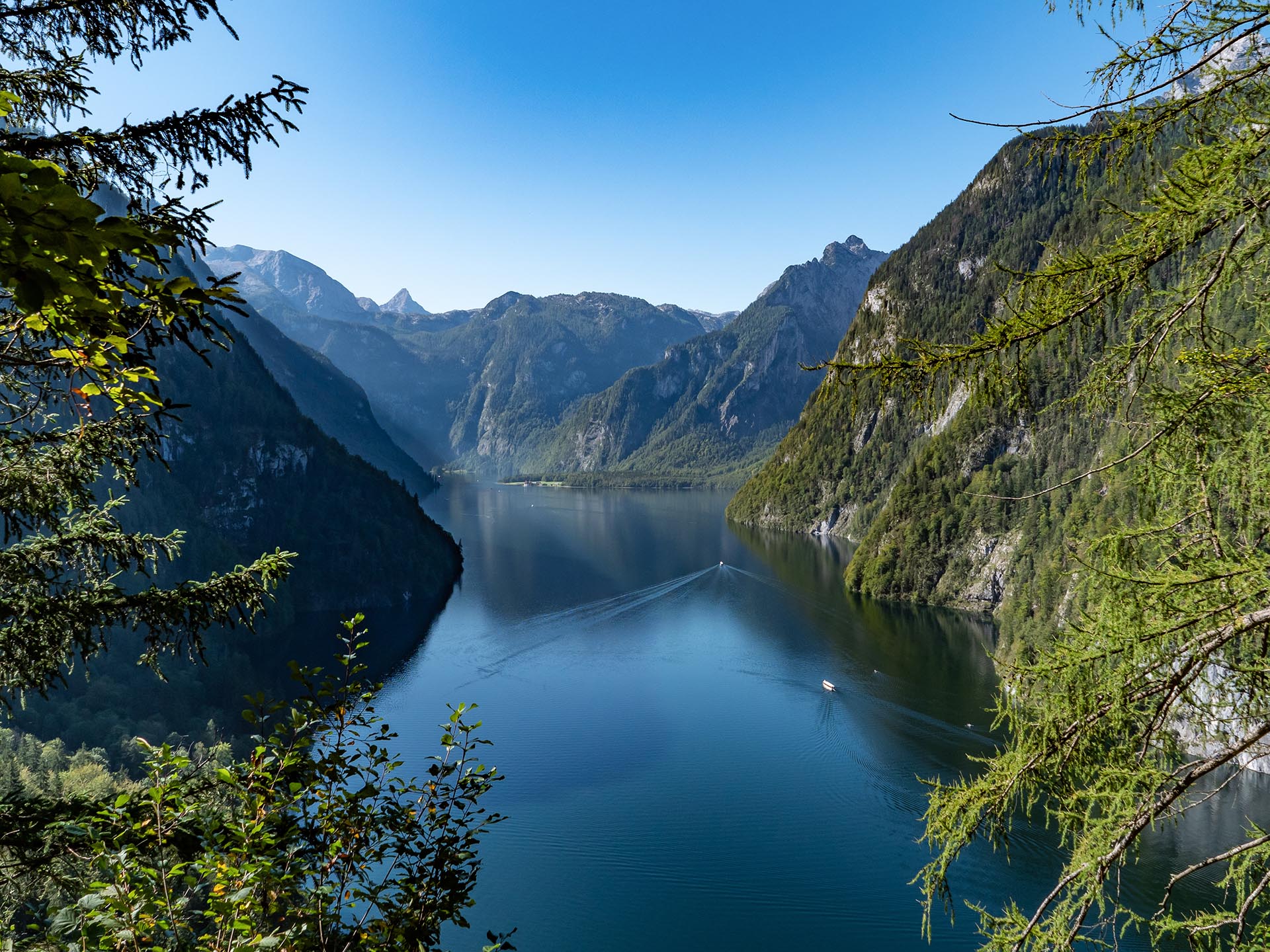
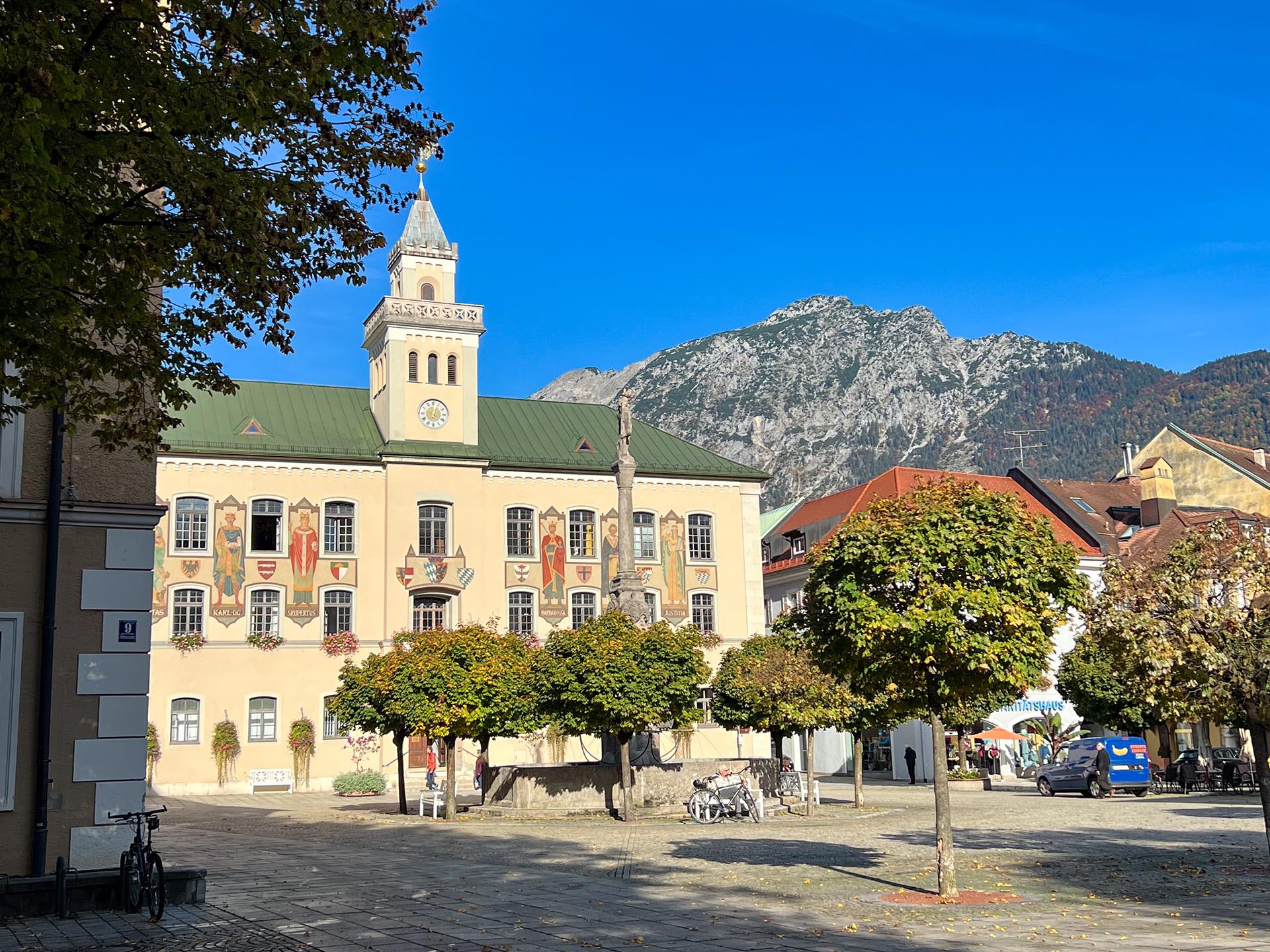
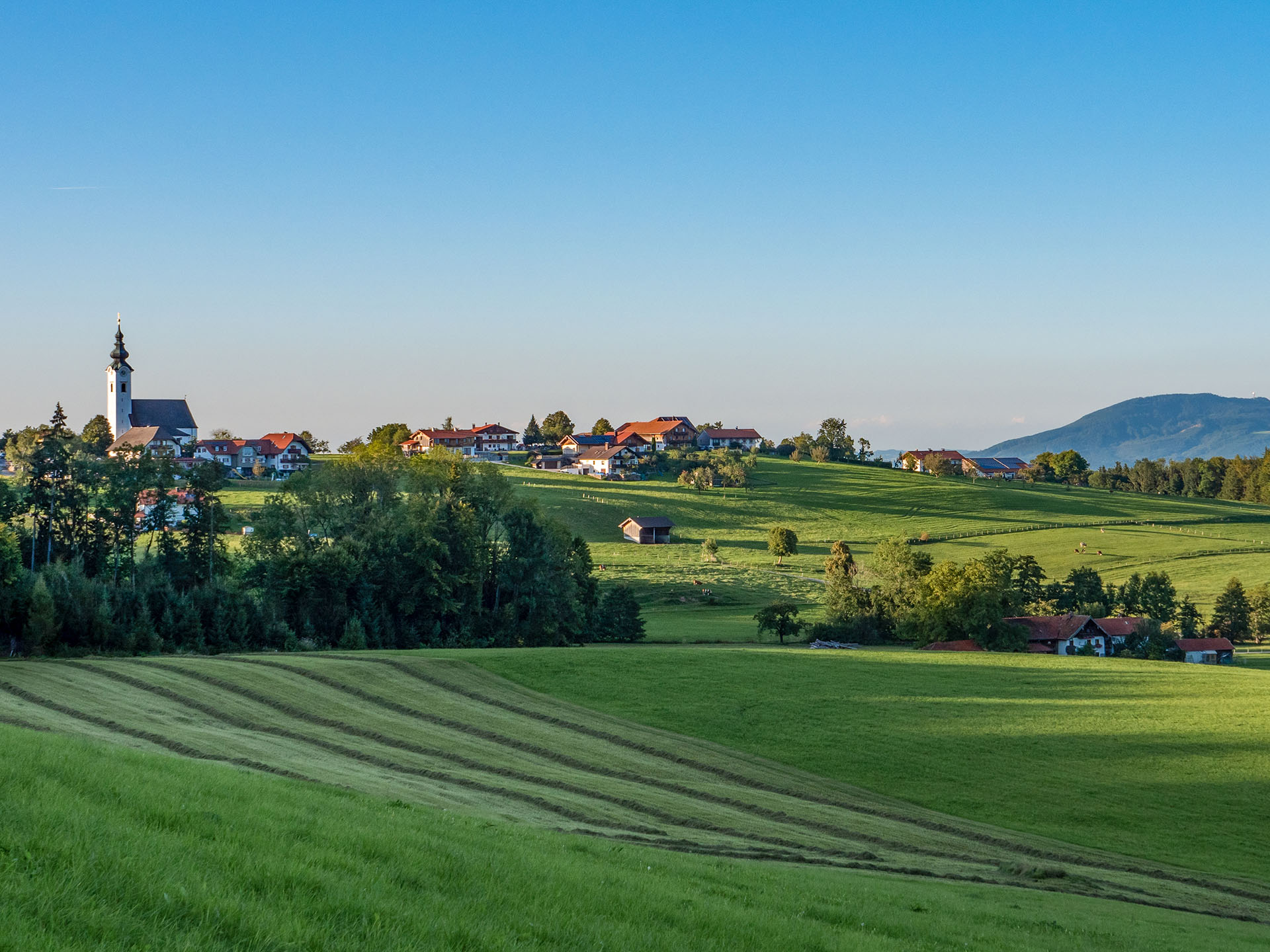
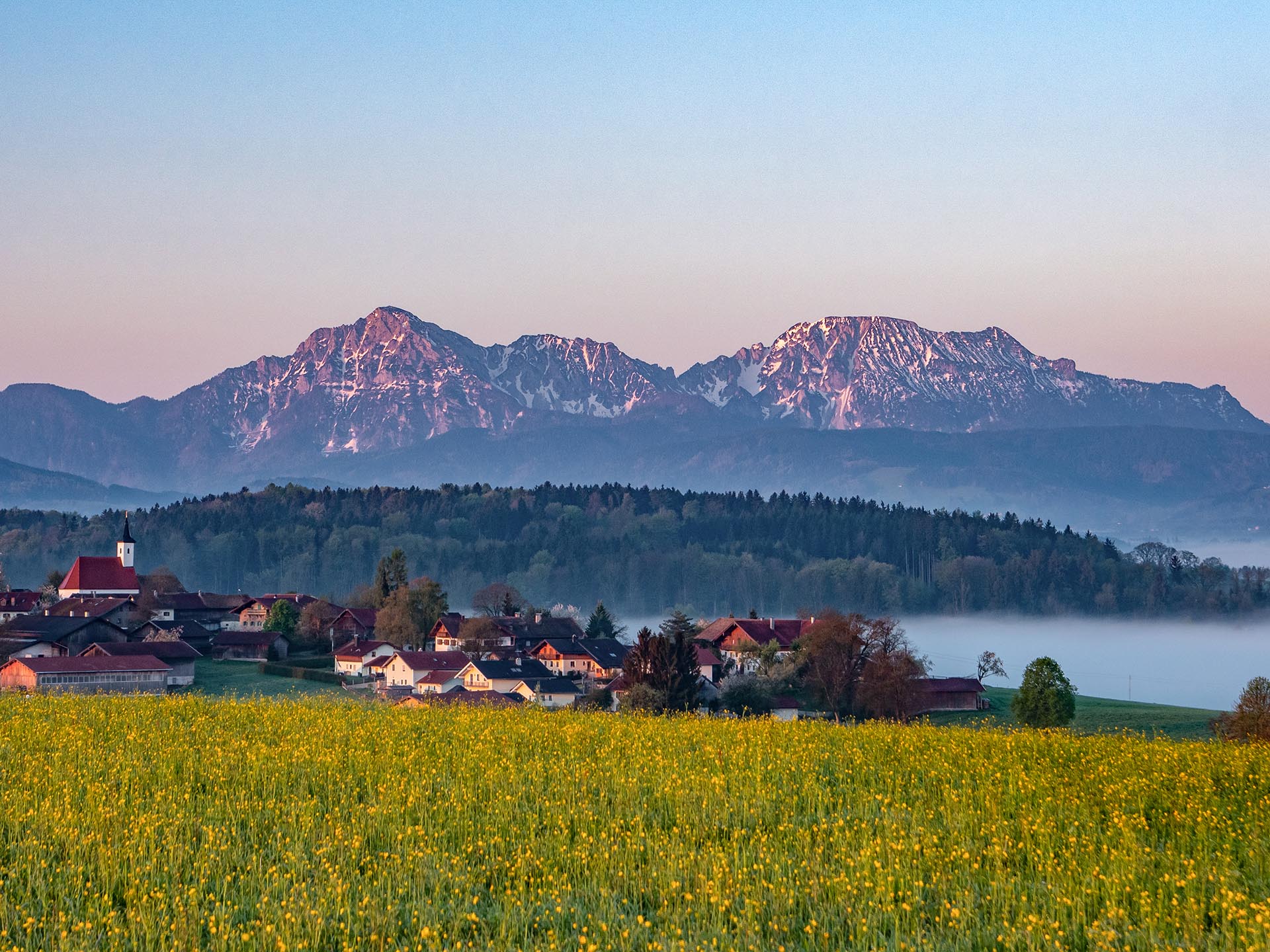
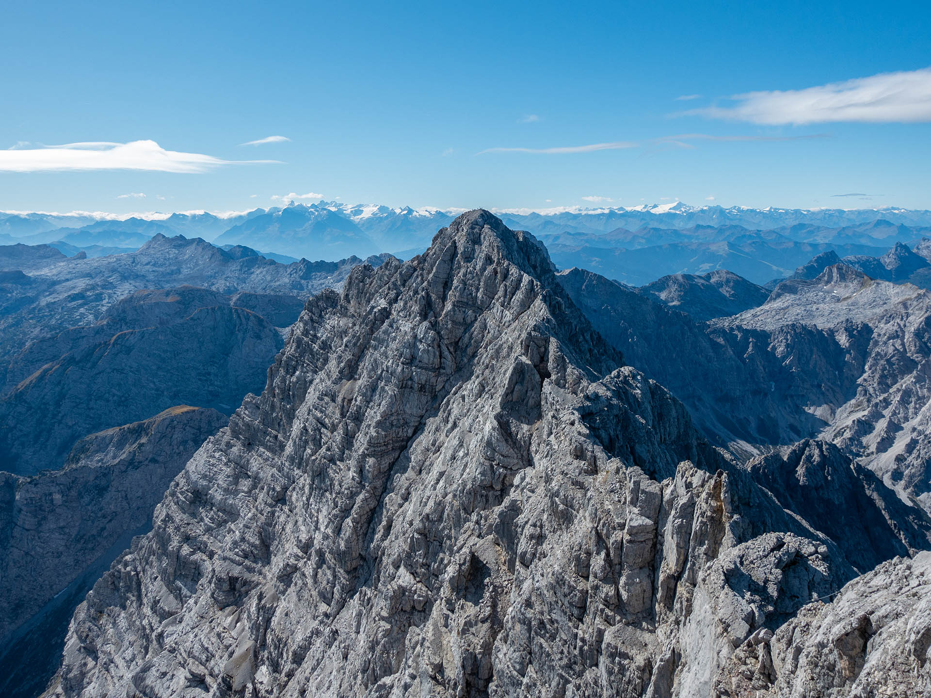
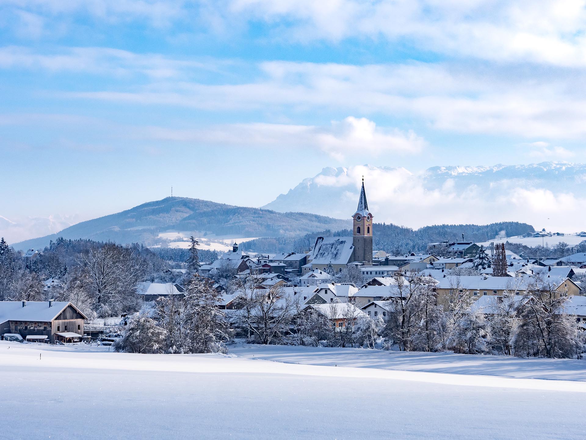
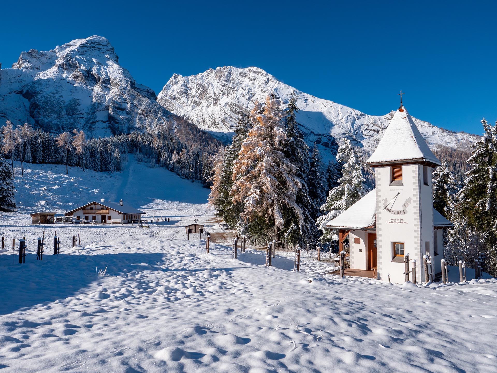
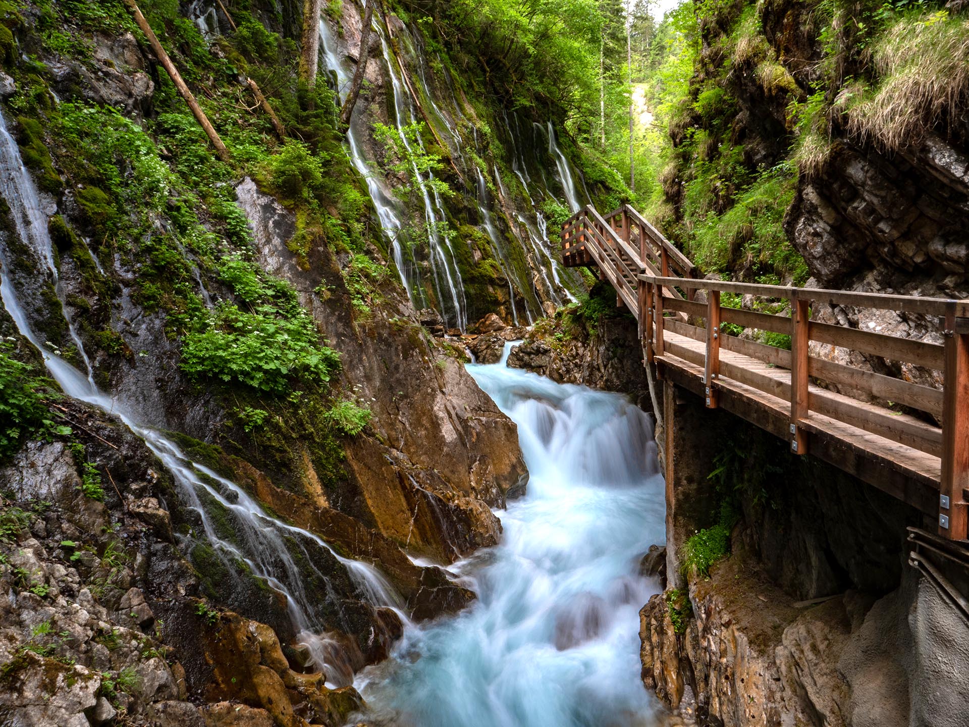
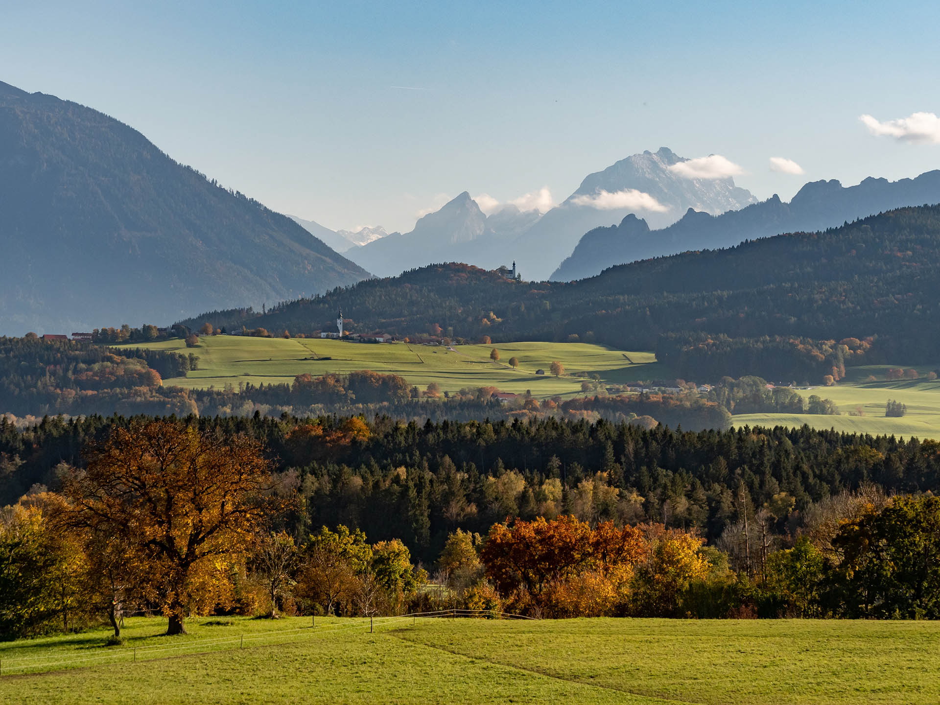
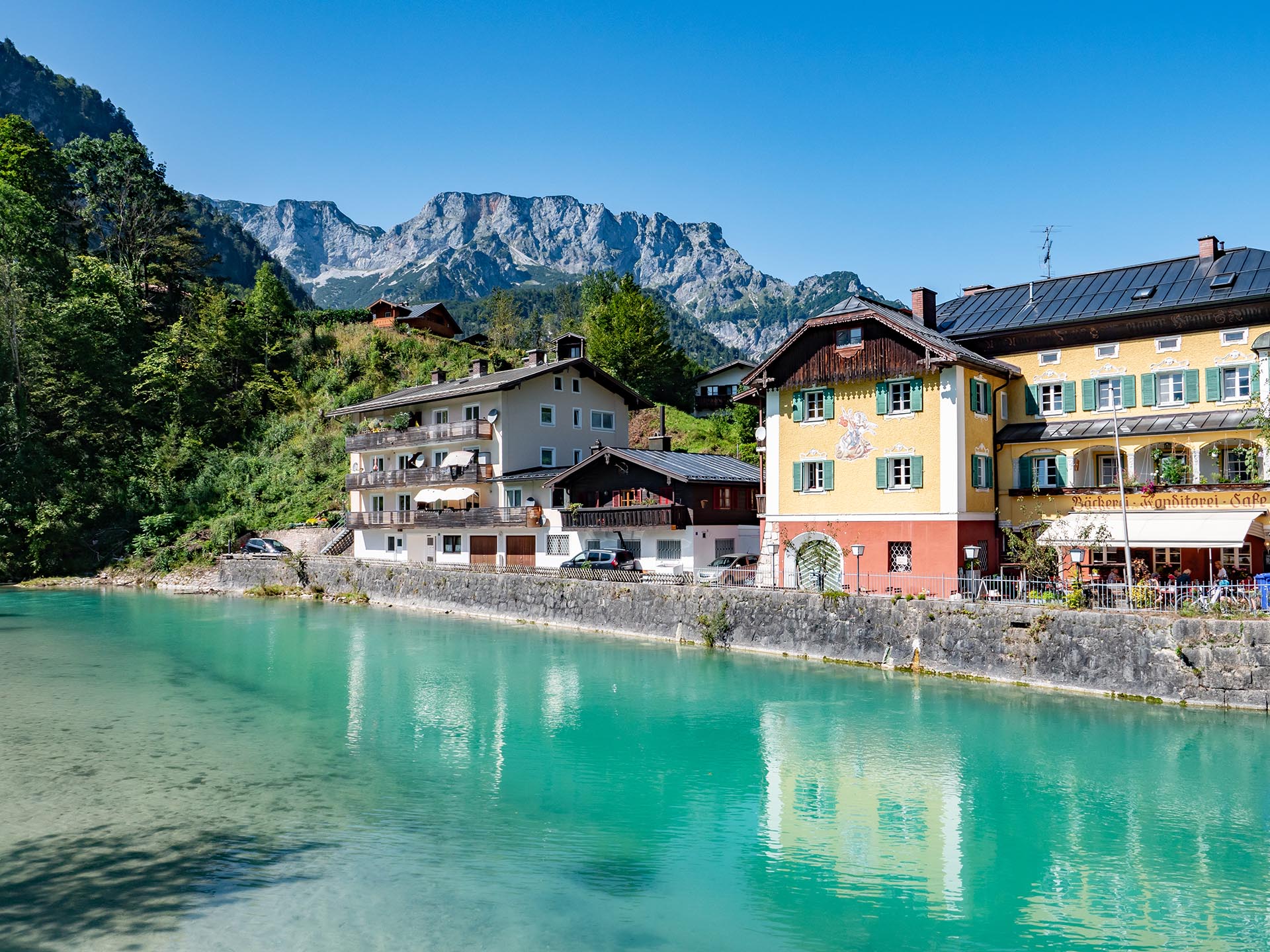
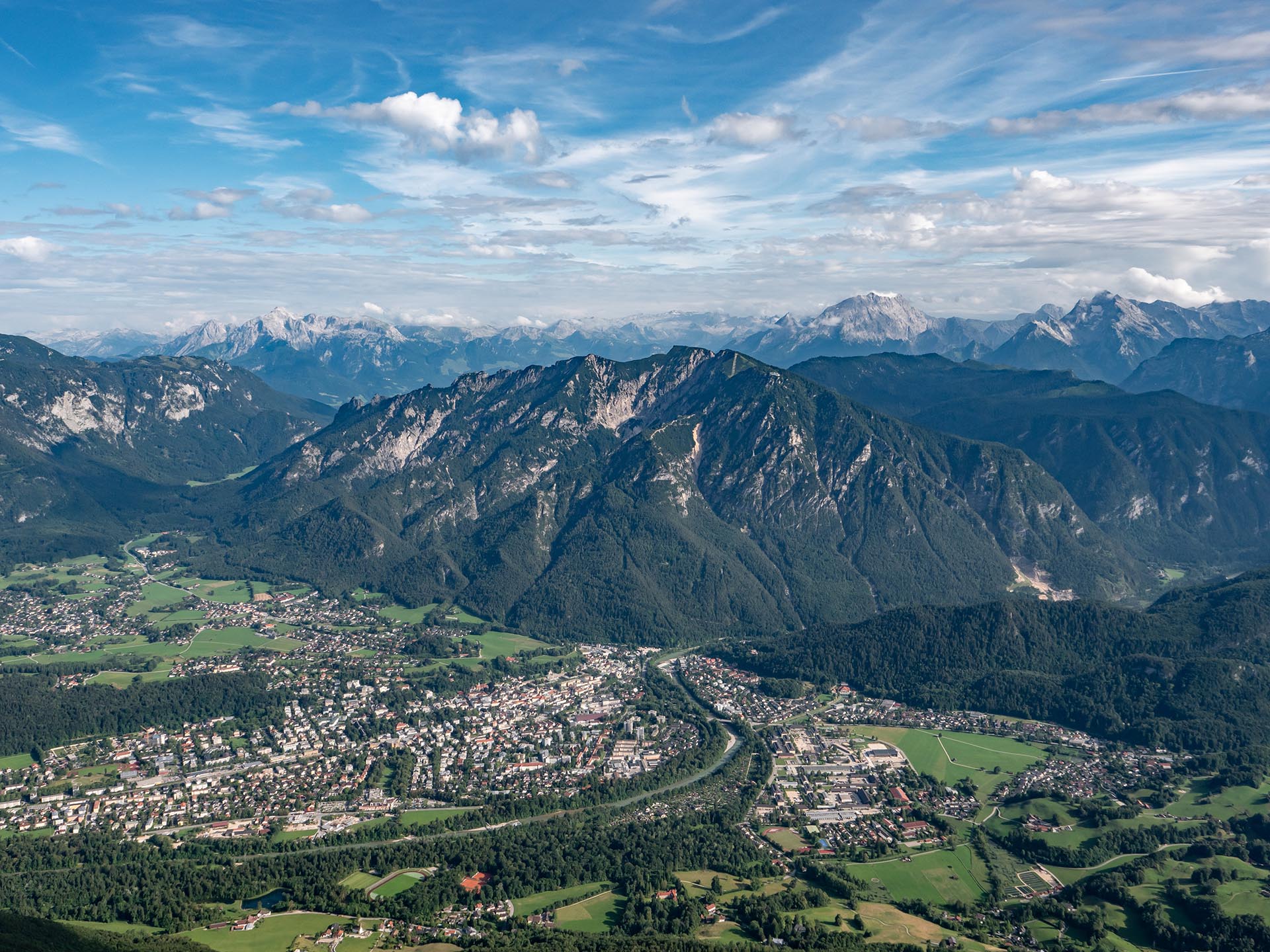
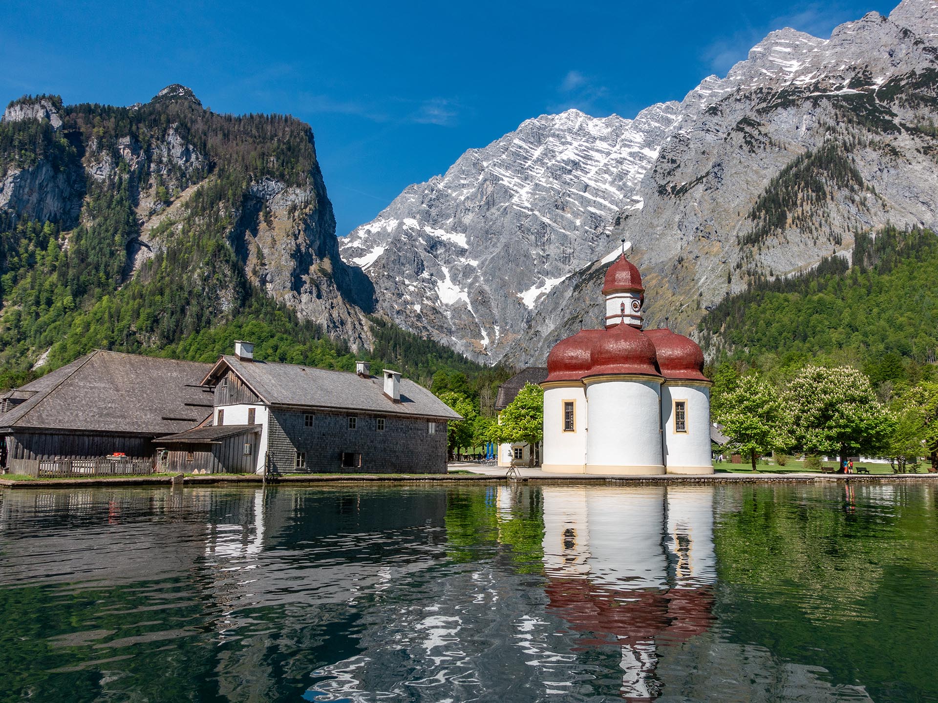
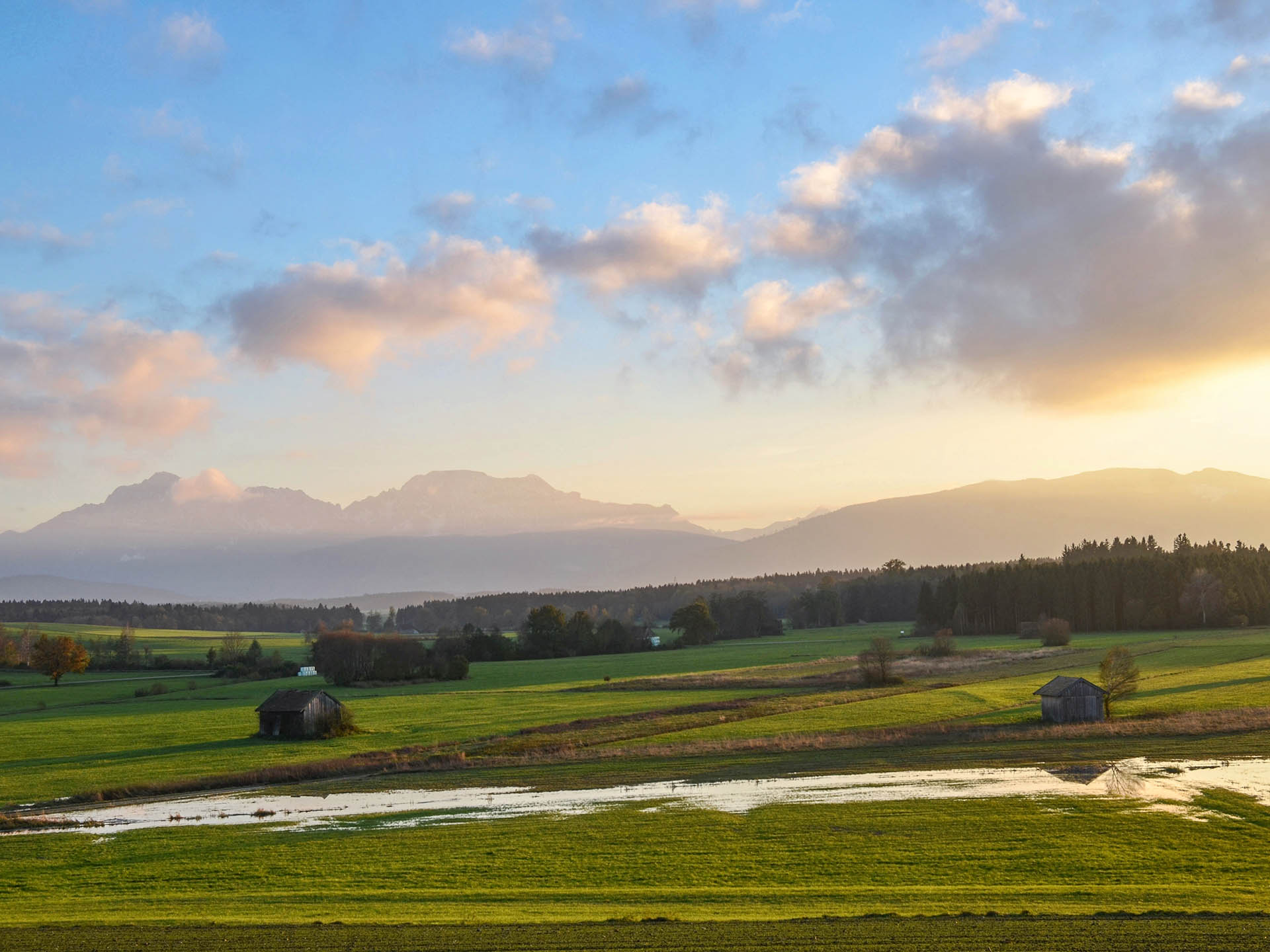
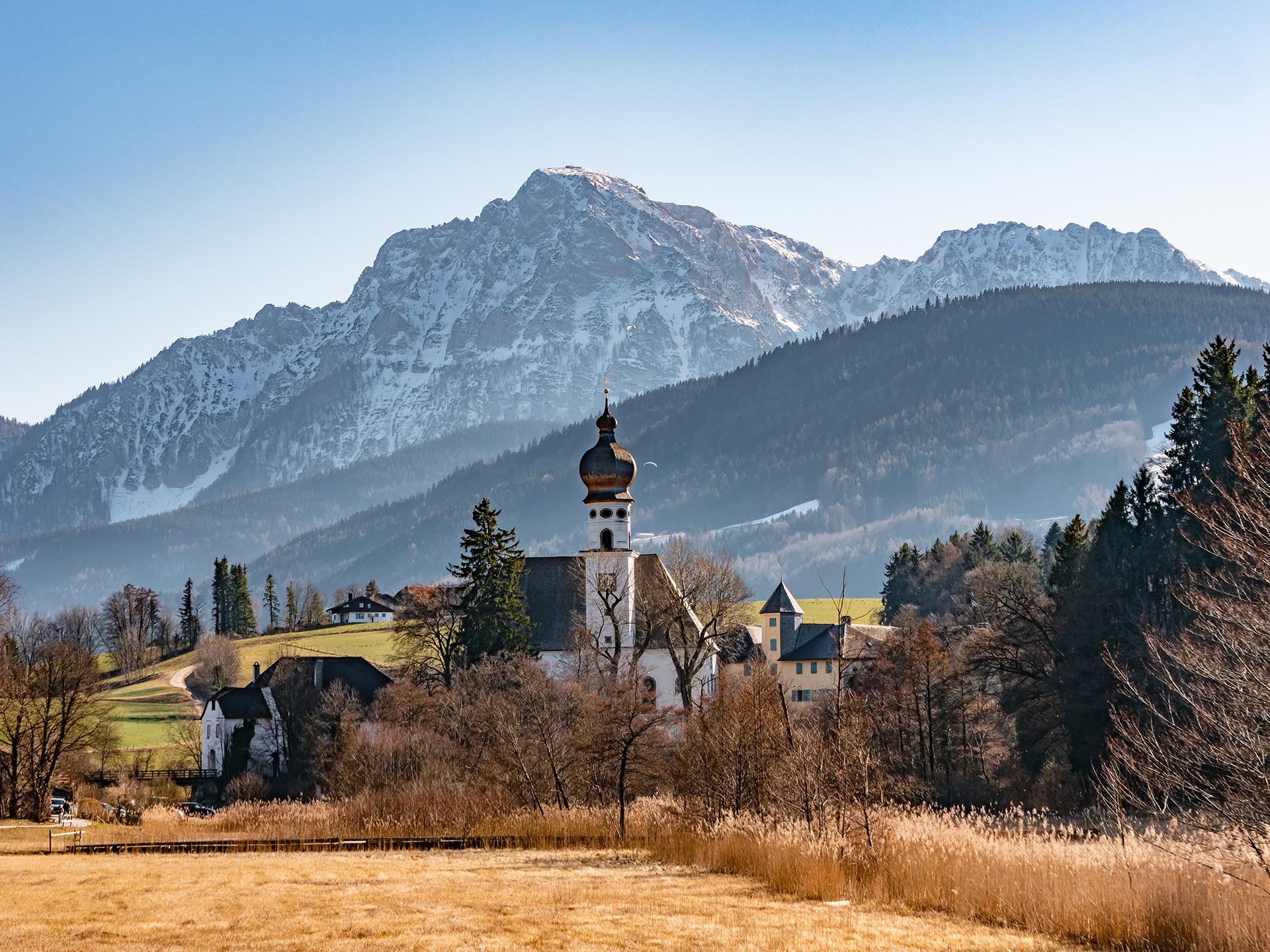
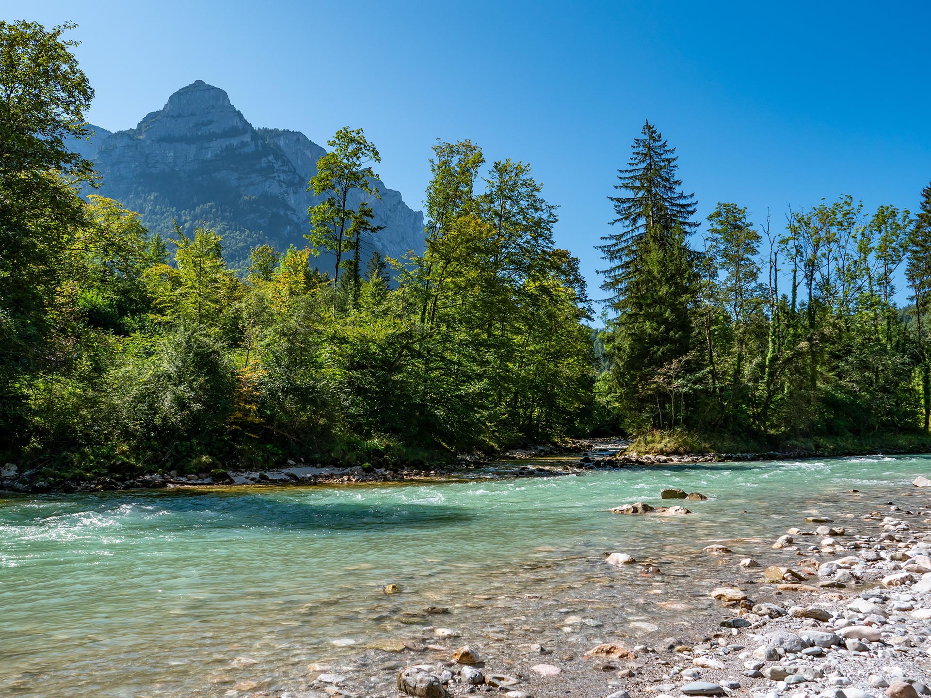
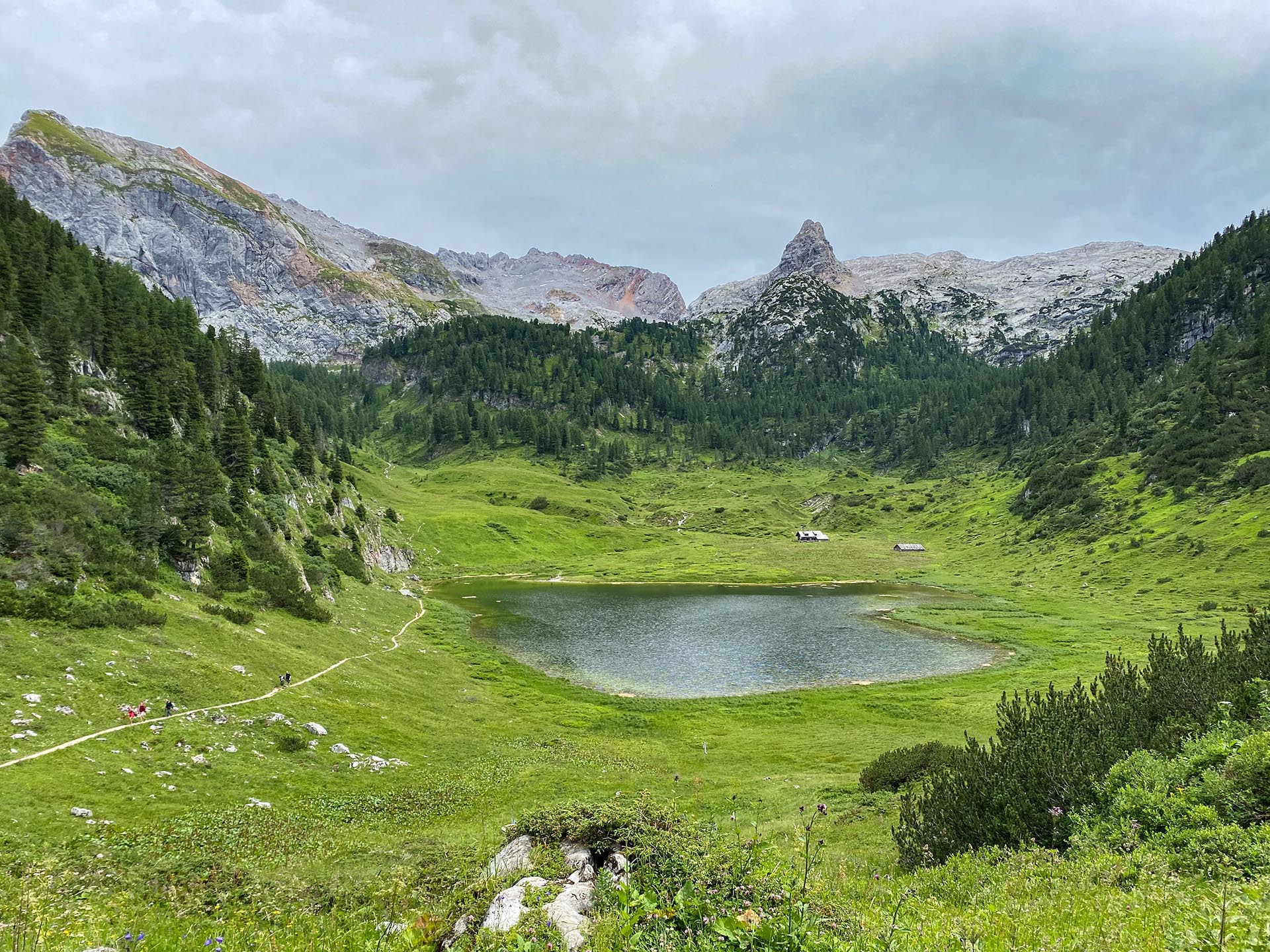
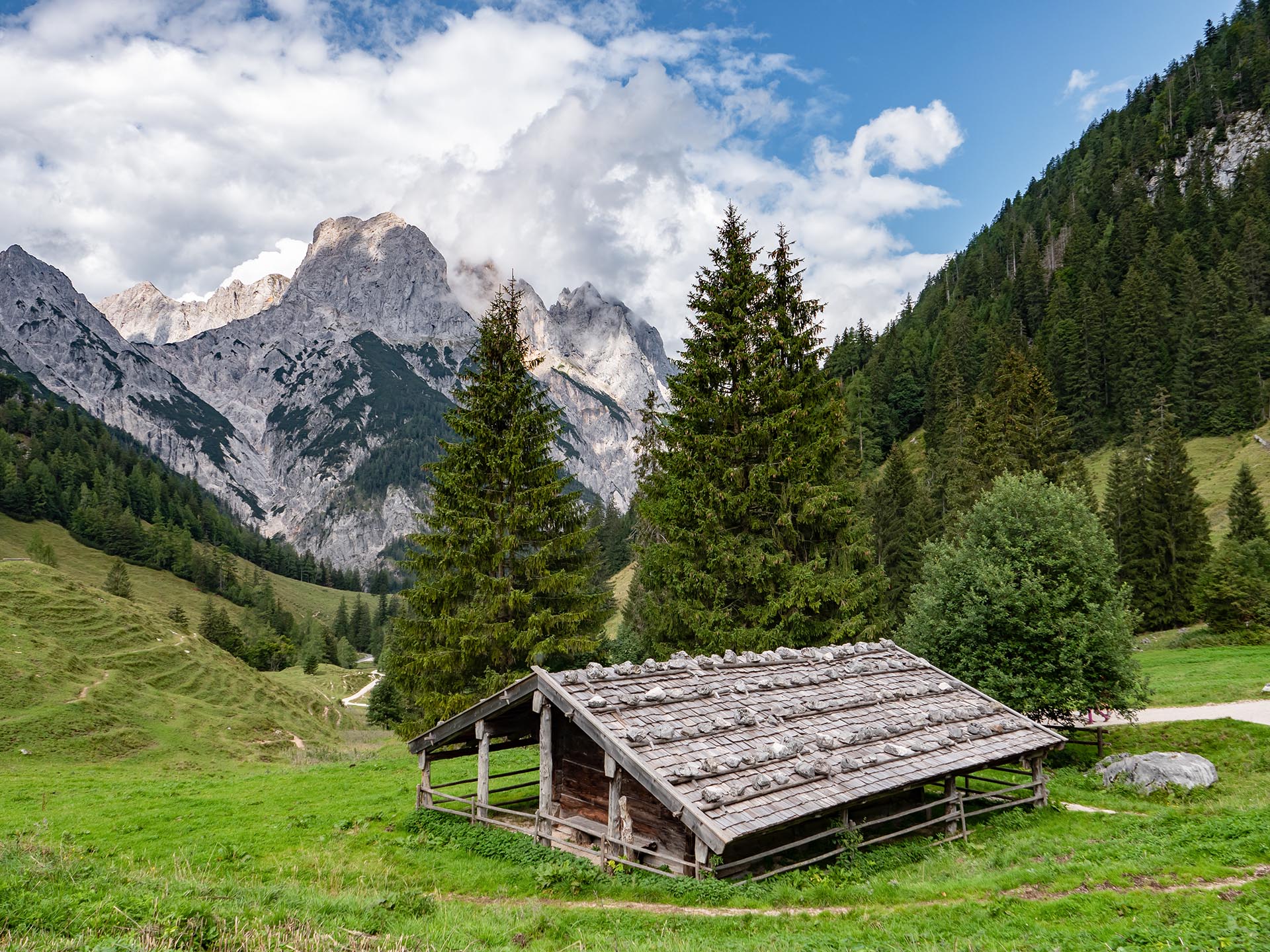
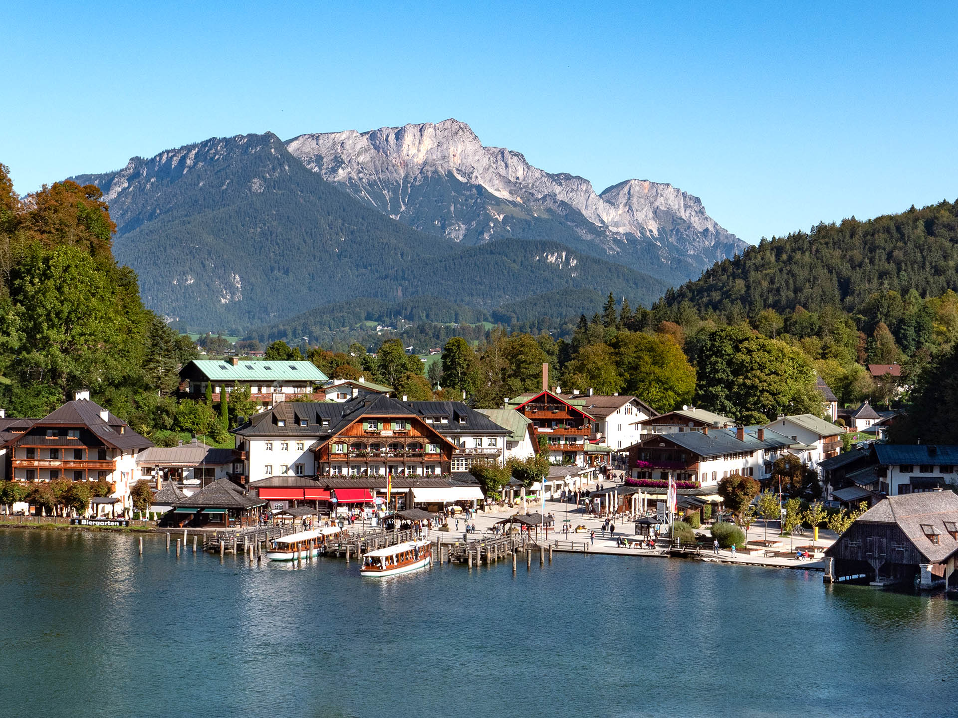
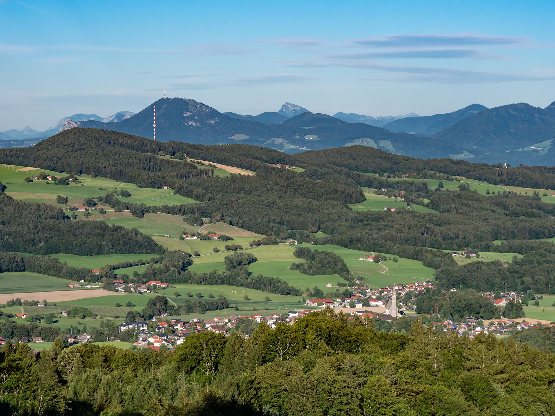
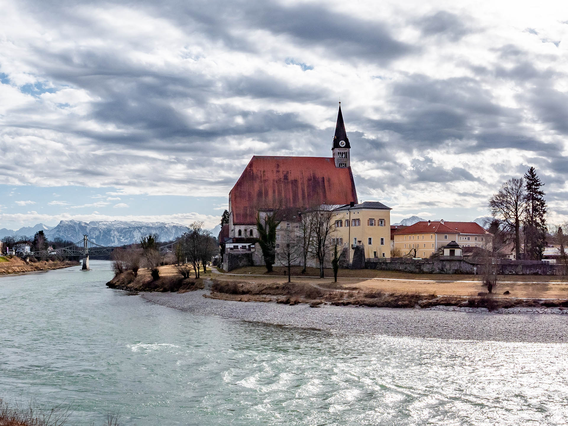
Impressions of the Biosphere Region
Alpine south, pre-Alpine north
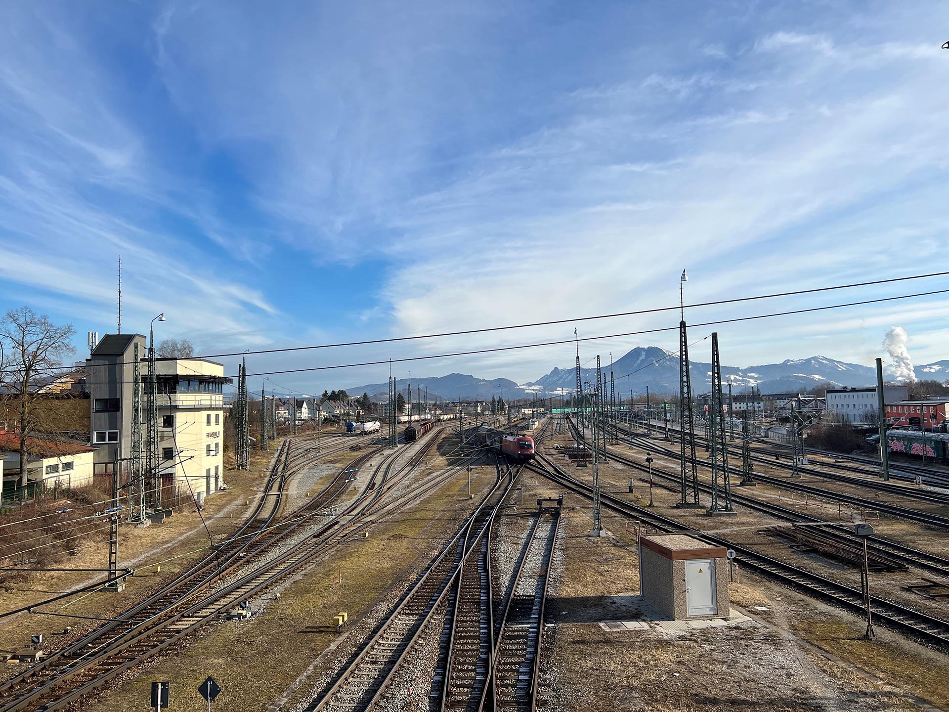
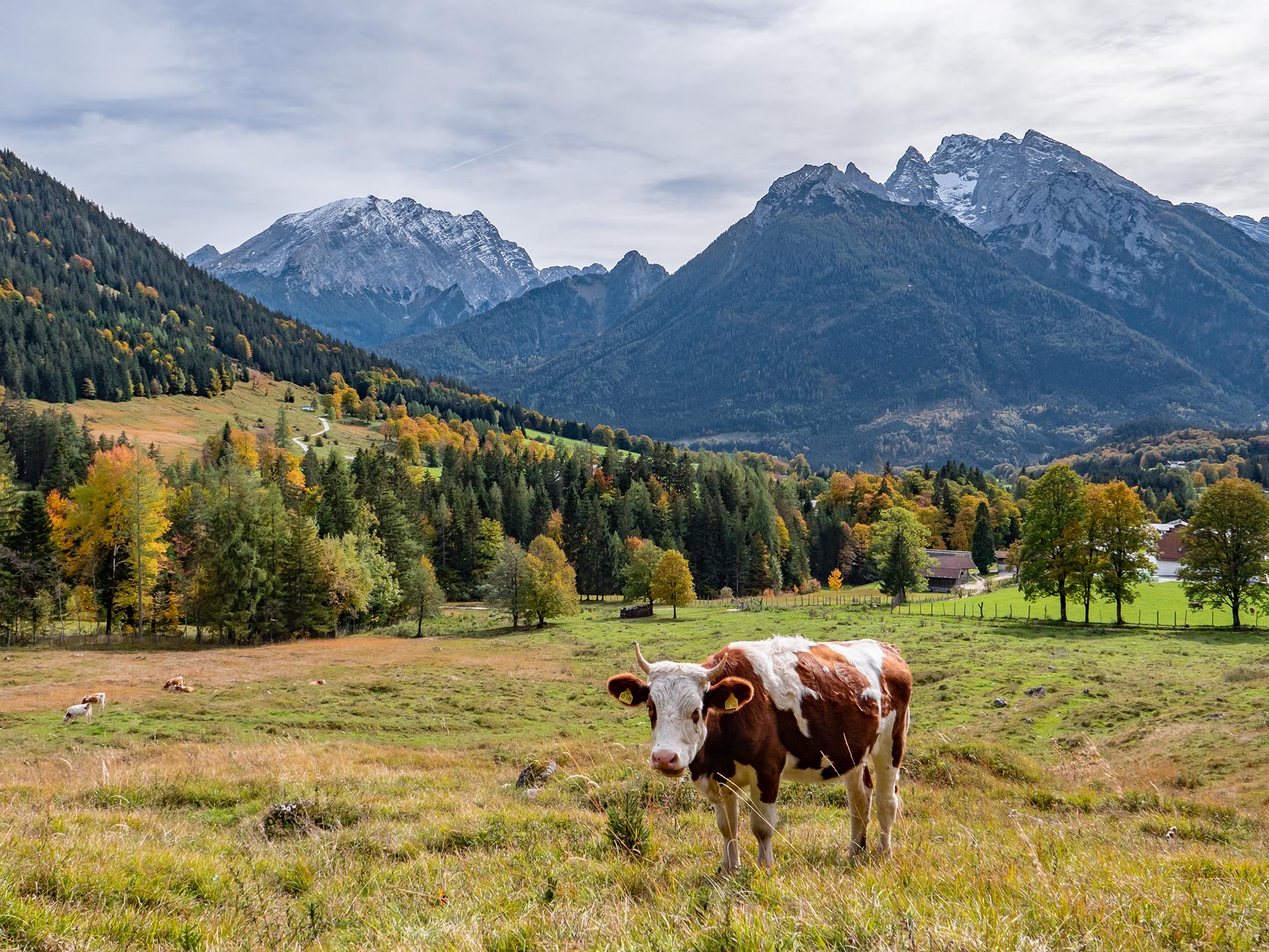
The different nature of landscapes in the Berchtesgadener Land determines the type of land use and creates a very heterogeneous structure. Nevertheless, cattle and dairy farming characterize the entire district, meadows and pastures take up about one fifth of the region’s area. Alpine pasture farming is the prominent natural and cultural heritage. Forests cover about half of the Biosphere Region. They play an important role for the region not only because of their life-sustaining functions, but also because of their economic importance. At lower altitudes in the north, crop farming is practiced due to more favorable climatic conditions. About 15% of the Biosphere Region are mainly vegetation-free alpine areas with rocks, scree slopes and alpine grasslands, which cannot be used for agriculture or forestry and are under environmental protection. In addition, a widely spread network of watercourses characterizes the landscape of the district. In addition to the Salzach, Saalach and Sur rivers, numerous mountain streams are typical for the region. All bodies of flowing water have a combined length of more than 1,400 km and, together with the stillwaters, reflect the great amount of water that needs to be preserved.
UNESCO Award
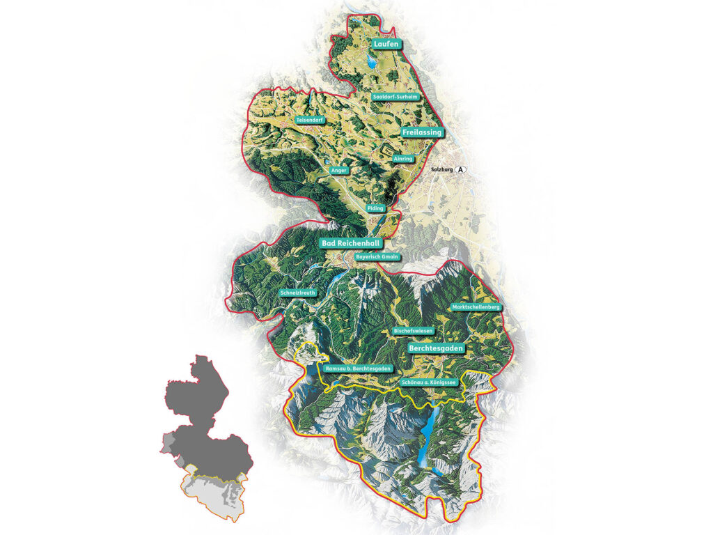
Map and zoning
To be recognized by UNESCO as a biosphere reserve, it is obligatory to have a three-part zoning with graded intensity of use and different functions. Thus, the Berchtesgadener Land Biosphere Region is divided into a core zone, a buffer or maintenance zone and a development zone. The core zone lies entirely within the Berchtesgaden National Park, which includes in particular the high mountain regions in the south. The buffer zone consists of the maintenance zone of the national park and two nature reserves. The largest area is covered by the development zone on the remaining area of the district. In this zone a sustainable coexistence of man and nature is to be created.
